
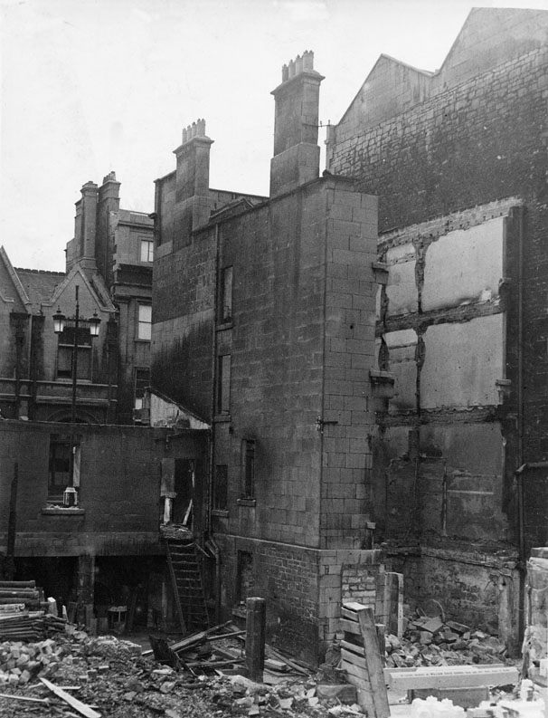
Numbers 17 and 18 Manvers Street.
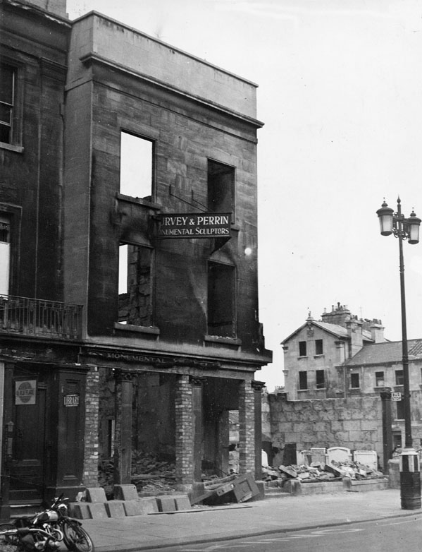
Number 17
|
|
And the damage to No. 18 Manvers Street, next door.
|
There was something very odd about the numbering of Manvers Street. According to the street directory, numbers 17 and 18 were located between Number 12a and Number 13. This places them between Stanley Road and Dorchester Street, roughly where the end of the bus station buildings are now. They would have been almost opposite Fortt's Biscuit Factory which was where the bomb actually fell (and where the modern day building currently occupied by an accountancy company stands), causing the damage to the front of the buildings, and very close to HE2023 in Stanley Road which would have destroyed the back of the buildings. |
Use this button to view the picture pages in sequence.
If you can't find where you want to go next using the navigation buttons at the top of this page, this button will take you to the page containing the complete site index.