
The Cheltenham Street area
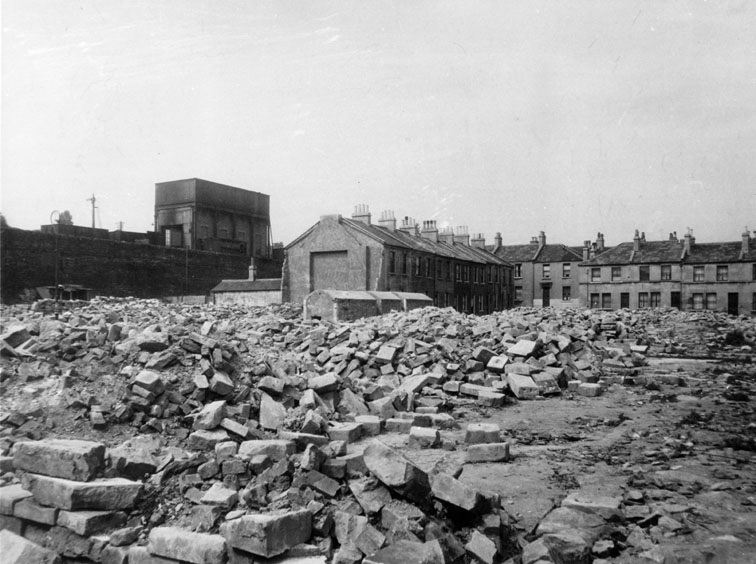
This photograph from the Bath Library Collection is labelled "Sydenham Place". However, that address is wrong. According to the street directory, there was a Sydenham Road and a Sydneham Buildings but no Sydenham Place.
The railway in the background gives the clue. It eliminates Sydenham Road, which was nowhere near the railway. As the GWR line runs from the railway station towards Bristol, it starts as a viaduct bridging the streets, becomes a high embankment that then gradually decreases in height, until it becomes a shallow cutting that is bridged by the road at Brougham Hayes. The embankment in the background is too high to be at Sydenham Buildings.
I believe this picture to be of the Cheltenham Street area. It is not possible to take a current day photograph of this area because of the replacement buildings which block the view (Cheltenham Street was not rebuilt as housing; it is now light industrial units), but there are glimpses of the railway embankment behind them, and it looks the right height.
Four bombs fell in Cheltenham Street: HE1183, HE1184, HE2106, HE2107. HE2106 was the one that fell nearest to the railway.
Use this button to view the picture pages in sequence.
If you can't find where you want to go next using the navigation buttons at the top of this page, this button will take you to the page containing the complete site index.